
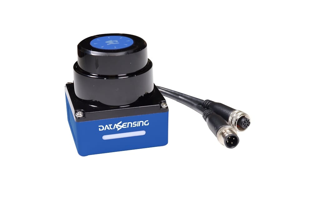
At Rendertech India, we combine advanced sensing hardware with dedicated engineering execution to deliver fully integrated automation environments. Our next-generation Industrial Compact LiDAR Sensors are designed to provide ultra-precise, long-range 2D distance measurements and dynamic collision avoidance for complex machine environments.
Backed by our 100% technical consultation, application mapping, and on-site commissioning safety teams, we don’t just supply hardware — we take absolute technical responsibility for your sensing and object detection infrastructure from design to final validation.
Every deployment includes application design, control interfacing, and on-site validation — engineered and signed off by our own technical team, not left to your maintenance crew.
Our Compact LiDAR series employs high-frequency, pulsed Time-of-Flight (ToF) optoelectronic measurement technology, broadcasting a reliable infrared laser beam to deliver real-time, high-density two-dimensional profiling grids across an all-round scanning plane.
Complete omnidirectional scanning field to capture environmental obstacles and measuring coordinates with zero blind spots.
Accurate, high-precision sensing to 25 m at high remission levels; a reliable 10 m detection range even at a minimal 10% remission factor.
Real-time data streaming including target distance, exact angular position, signal strength, and synchronized time-stamps.
User-adjustable rotation frequencies paired with fine angular resolution down to 0.25° for tracking miniature or fast-moving targets.
Tight measurement accuracy within ±30 mm and a highly stable repeatability metric of <20 mm.
Up to 16 zone sets with 3 simultaneous digital detection outputs, 5 selectable beam-count settings, and 10 response-time values from 80 ms.
Wired with 4 dedicated zone-switching digital inputs and 4 digital load outputs for direct integration with machine control logic.
Built-in IEEE 802.3u Ethernet port using standard TCP/IP and UDP protocols for efficient host-controller integration.
Industrial-grade aluminum and polycarbonate housing under 500 g, with ambient light immunity above 80,000 lux.
A flexible product family designed to fit standalone machines or deeply integrated factory networks, closely mapped to the industry-leading Datasensing Laser Sentinel ecosystem.

Tailored for advanced positioning and raw mapping. Streams a constant 2D point cloud (UDP/IP over Ethernet) with distance, angle, and reflectivity metrics directly to navigation computers or factory control systems.
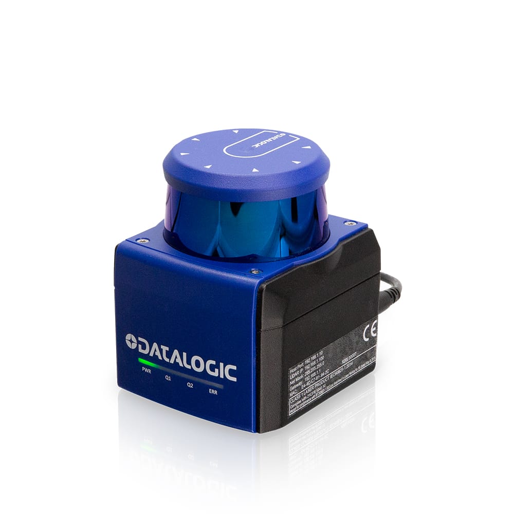
Configured for active zone tracking. Using native PC configuration software, define distinct shapes for up to 16 zone configurations, with physical digital inputs triggering instant profile switches based on machine state.
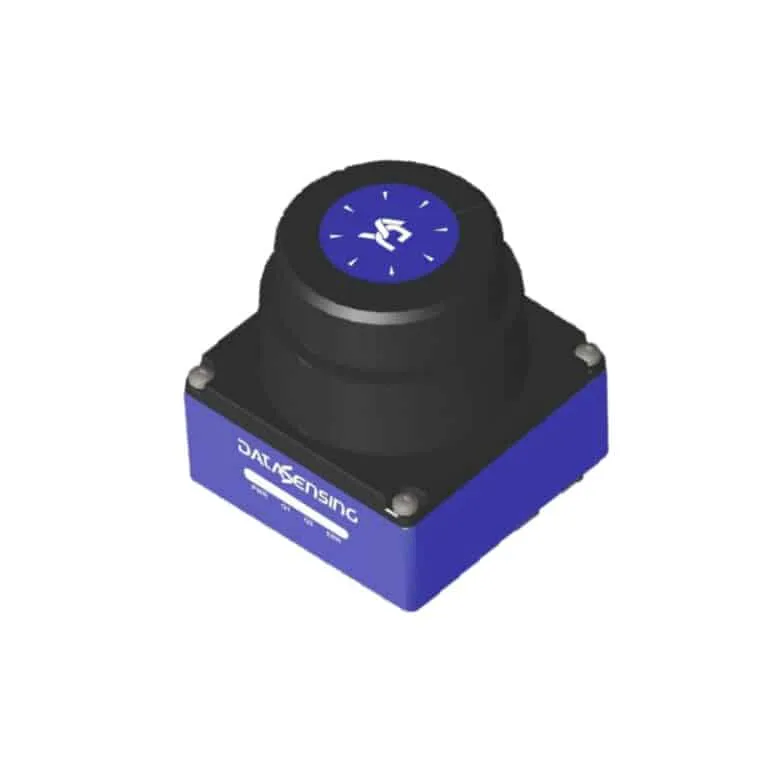
Engineered with active optical algorithms and ambient light immunity above 80,000 lux to operate reliably outdoors — handling dust, debris, and changing solar lighting without dropping signal.
Our engineering team programs and optimizes these LiDAR systems for a broad spectrum of automated plant environments.
Serving as the core sensor for real-time navigation mapping, multi-stage slowdown fields, and intelligent collision avoidance profiles.
Mounted horizontally to give mobile logistics units continuous 360° environmental tracking to safely navigate active human workspaces.
Assisting in active pallet detection, rack-alignment clearance checks, and rear-end backing collision prevention.
Monitoring open feed zones, calculating raw material dimensions, and providing area-clearing signals before heavy tool cycle execution.
Mounted on rugged field equipment to identify obstacles, manage automated trench guidance, and protect blind spots around large vehicles.
Industrial LiDAR setups require precise mechanical alignment, zone layout design, and timing parameters to avoid costly false stops and missed objects.
We take 100% technical responsibility for your project deployment — from first site survey through final validation sign-off.
01
We study your machinery footprint, determine optimal optical mounting points to eliminate blind spots, and map specialized zone profiles using integrated software packages.
02
Our engineers program and map the 4-input zone selector loops, define response time values, and configure standard TCP/IP diagnostic protocols into your central PLC network.
03
Our dedicated technical team physically mounts, aligns, and wires the industrial connectors (M12 4-pin and 12-pin interfaces), performing on-site validation tests to guarantee your system is fully functional.
Ready to upgrade your equipment with high-density, compact 2D distance sensing? Contact the Rendertech India technical department for complete application mapping and a dedicated project configuration proposal.
Fill up the form and we will get back to you in 24 hours